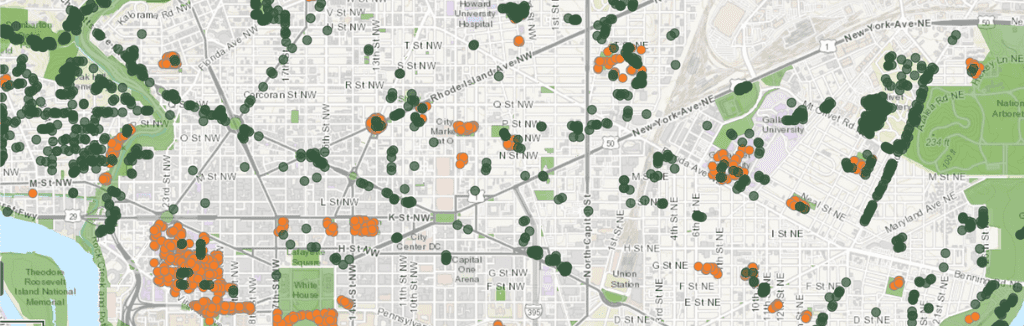
Trees Near Me
This map contains practically every tree we have data for in Washington, DC. Explore the trees near your address or filter for specific species.
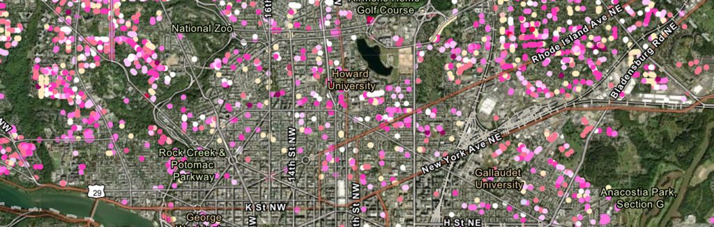
Cherry Blossom Trees
As spring emerges in the nation’s capital, the air is filled with a sense of anticipation and wonder as delicate cherry blossoms burst into a breathtaking display of pink and white hues.
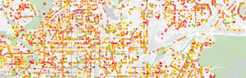
Fall Colors of DC
There are more than a dozen fall tree species across Washington, DC. Learn where you can find your favorite fall foliage.
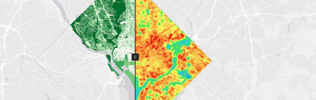
Urban Tree Canopy and Land Surface Temperature in Washington, DC
Compare DC’s urban tree canopy and land surface temperatures.
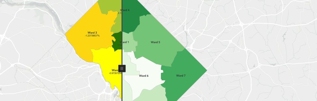
Tree Canopy Change by Ward
Explore how DC’s tree canopy has changed across wards from 2015 to 2020.