DC i-Tree Ecosystem Analysis Map
i-Tree is a suite of tools developed by the U.S. Forester Service that allows communities and researchers to calculate the dollar value of their urban canopies.
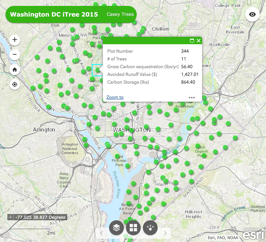
Every five years Casey Trees collects data on 201 plots throughout the District using U.S. Forest Service protocols. The map below shows the number of trees, carbon removal, carbon storage and avoided stormwater runoff values of each plot.
Learn more about D.C.’s latest iTree Ecosystem Analysis Report.