A Change to the USDA Hardiness Zones
The U.S. Department of Agriculture’s (USDA) plant hardiness zone map, the go-to guide for gardeners and growers, has received its first update in over a decade. This essential tool helps …
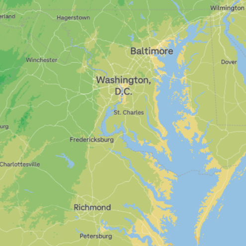
The U.S. Department of Agriculture’s (USDA) plant hardiness zone map, the go-to guide for gardeners and growers, has received its first update in over a decade. This essential tool helps …
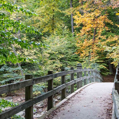
In a recent City Cast DC episode, NPS representative JP Schmit shared that, “In DC and the Northeast United States, forests are the most common vegetation type – that’s what nationally …
We built a map of the top five showy fall color trees in D.C. – the ginkgo, sweetgum, blackgum, linden and golden rain tree. Changing leaf color makes it even …
i-Tree Ecosystem Analysis reveals the structure, function and value of urban forests. Trees provide enormous benefits to human health and the environment. Those natural woody plants standing tall on our …
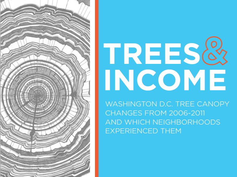
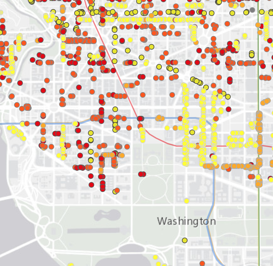
Washington, D.C. Tree Canopy Changes from 2006-2011 and Which Neighborhoods Experienced Them. Leadership in city governments increasingly recognizes the well-known benefits of trees, and numerous cities throughout the United States …
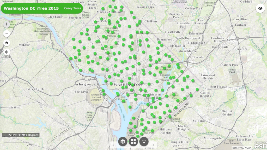
i-Tree is a suite of tools developed by the U.S. Forester Service that allows communities and researchers to calculate the dollar value of their urban canopies. Every five years Casey …
This April, Councilmember Gray introduced legislation to exempt the Parkside development from DC’s Heritage Tree protections. Parkside is a 1.5 acre, 200-unit apartment project of City Interest Development Partners, located …