For the first time since 2006, DC saw a net 1% canopy cover decline 1
.[1] This decline is equal to 565
acres, an area roughly the size of the National Mall, and is a setback
to reaching the City’s goal of 40% tree canopy by 2032.
Geographically, the greatest declines happened in Wards 5, 7, and 8 –
DC’s most vulnerable areas.
Canopy Change by Ward 2015-2020
Canopy Change

Current Canopy

| Ward |
Canopy Change 2015-2020 (%) |
Current Canopy 2020 (%) |
Potential Canopy (%) |
| 1 |
+1.1 |
24.4 |
31.4 |
| 2 |
-1.0 |
27.3 |
36.9 |
| 3 |
-1.2 |
59.0 |
70.8 |
| 4 |
+0.2 |
49.5 |
62.9 |
| 5 |
-2.6 |
29.4 |
49.4 |
| 6 |
-1.8 |
18.8 |
27.2 |
| 7 |
-2.1 |
38.5 |
58.9 |
| 8 |
-2.2 |
29.9 |
52.0 |
Canopy Change on DC Owned Property 2015-2020
By land-use, low/medium density residential zones (-2%) and public
lands/parks/vacant lots (-3%) were hit hardest. While public lands
lost canopy overall, a slight gain (1%) was seen in public
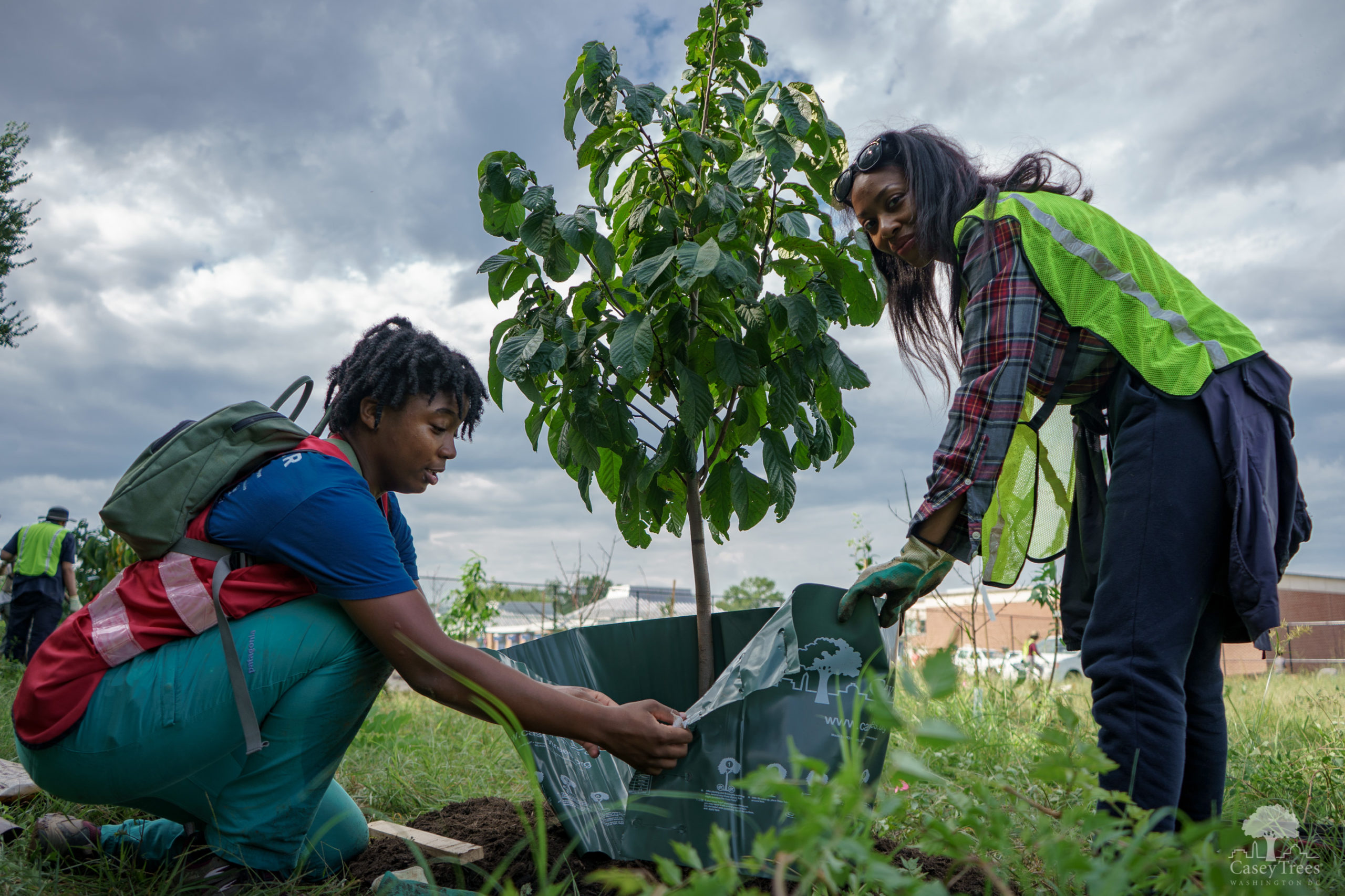
right-of-ways (street trees), due to the City’s 20-year commitment to
re-tree its streetsides.
Canopy Change by Land Use Type 2015-2020
| Land Use Category* |
Canopy Change (%) |
Canopy Change (Acres) |
| High Density Residential |
-1.2 |
-17.8 |
| Institutional |
-0.5 |
-11.8 |
| Low Density Residential |
-2.2 |
-170.8 |
| Medium Density Residential |
-1.8 |
-18.19 |
| Not Specified |
-1.1 |
-47.7 |
| Public and Parks |
-3.2 |
-152.2 |
| Vacant |
-3.1 |
-161.1 |
*Percent losses derived from land use category, not all DC land.
Losses in Wards 5, 7 and 8 were likely fueled by lower land prices in
these Wards and increased development. With population pressures, this
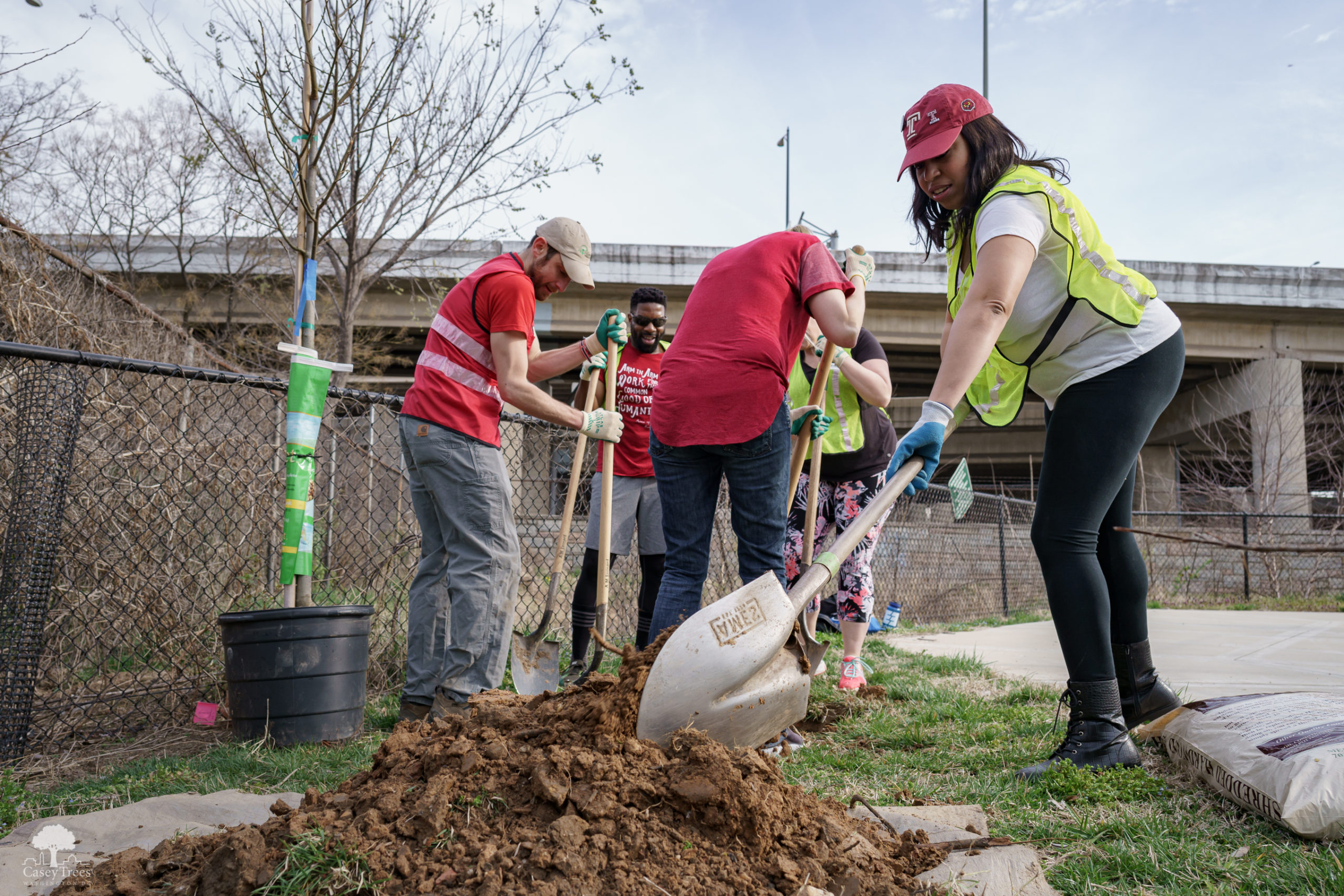
trend can be expected to continue. Casey Trees supports development to
accommodate incoming and existing residents, but development that does
not consider trees and greenspace to ensure better physical and social
health outcomes is not sustainable. At worst, developments that add
more concrete and asphalt to areas already experiencing elevated heat
levels and poor air quality will exacerbate negative health outcomes,
especially for DC’s most at-risk residents in Wards 5, 7 and 8.
The canopy loss experienced in the District was also seen in Prince
George’s (PG), Montgomery (MOCO), and Fairfax Counties, ranging from
0.3% to 2.2%. Casey Trees will spotlight canopy trends in neighboring
jurisdictions to keep policy makers, elected officials and residents
informed on this important topic in future Tree Report Cards.
Canopy Loss by County 2014-2018*
| County |
Canopy 2018 (%) |
Canopy Loss 2014-2018 (%) |
Canopy Loss (Acres) |
| Fairfax |
53.6 |
0.3 |
633 |
| MOCO |
45.5 |
1.8 |
5838 |
| PG |
50.4 |
2.2 |
6997 |
*Chesapeake Conservancy Land Cover Data Project, preliminary 2018
data.
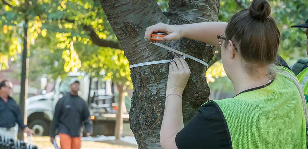
The Tree Report Card is Casey Trees’ annual evaluation of DC 's urban
forest. It looks at where our successes have been over the past year
and highlights where improvements can be made. This year
the District received an overall grade of A-.
The Tree Report Card rates Washington DC’s urban forest based on four
metrics: Tree Coverage, Tree Health, Tree Planting and Tree
Protection. Each metric is evaluated using a standard formula and
given a letter grade. This year’s overall grade of
A- is based upon the average of
four categories that are graded individually and explained in detail
below.